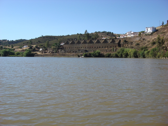
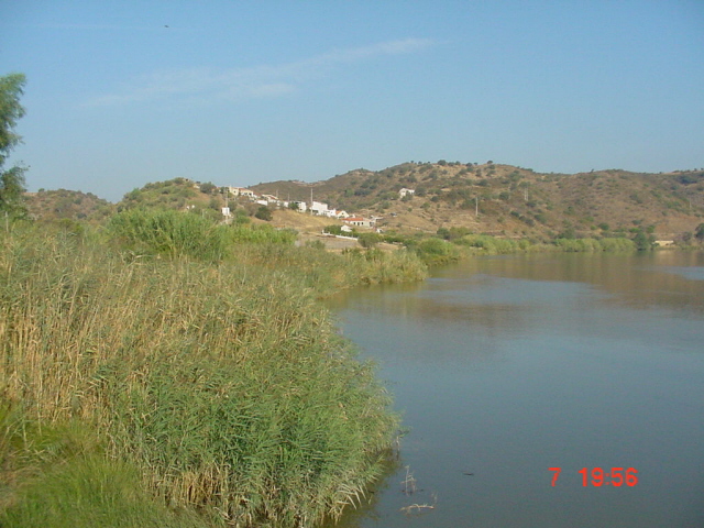
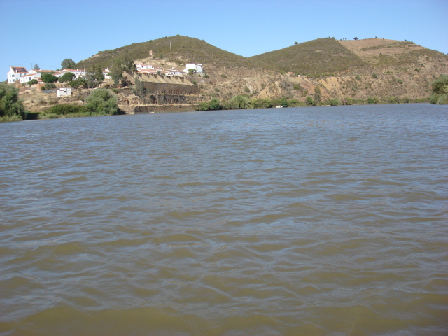
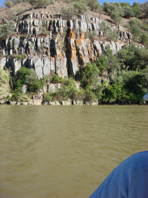
The following is a quote taken from an online search, it tells a brief tale of the Guadiana at its lower part better than I could explain it.
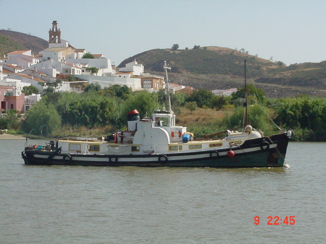
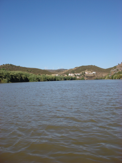
'Between Badajoz city, Spain, and Monsaraz, Portugal., and again downstream from Pomarão, Portugal., the Guadiana forms parts of the Spanish-Portuguese frontier. The rocky defiles and the sandbars at its mouth make the river suited to the navigation of small boats for only 42 miles (68 km) upstream to Mértola, Portugal. Larger vessels ply only between Pomarão and the coastal ports of Ayamonte, Spain, and Vila Real de Santo António, Portugal.'
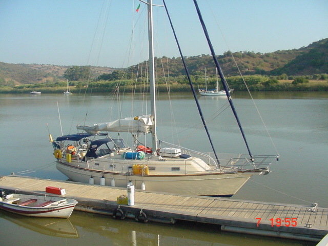
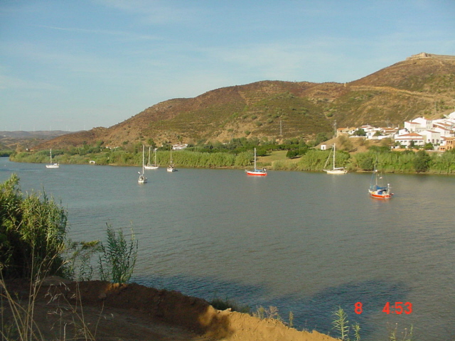
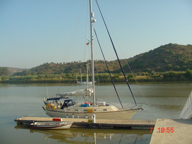
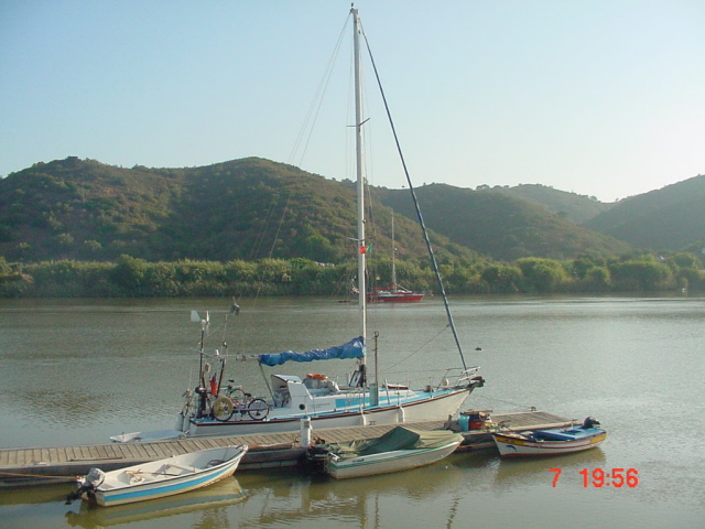
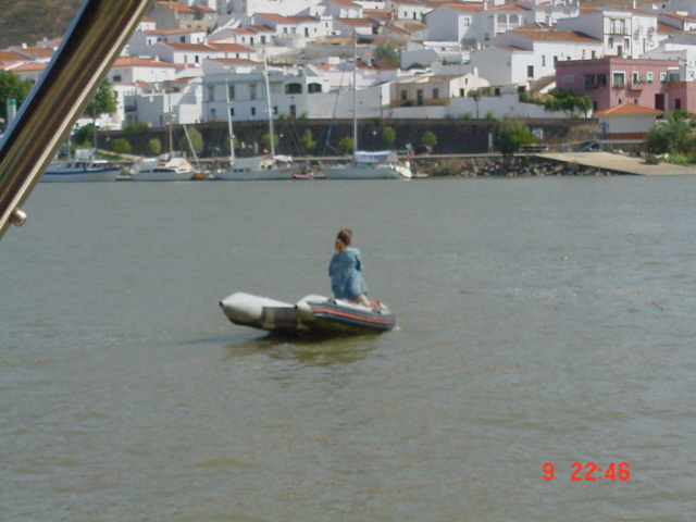
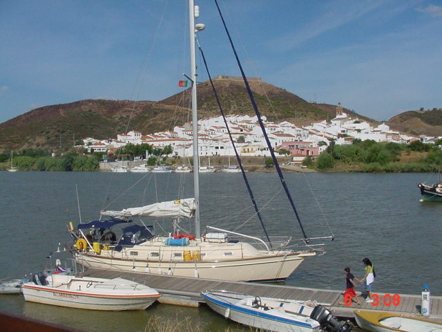
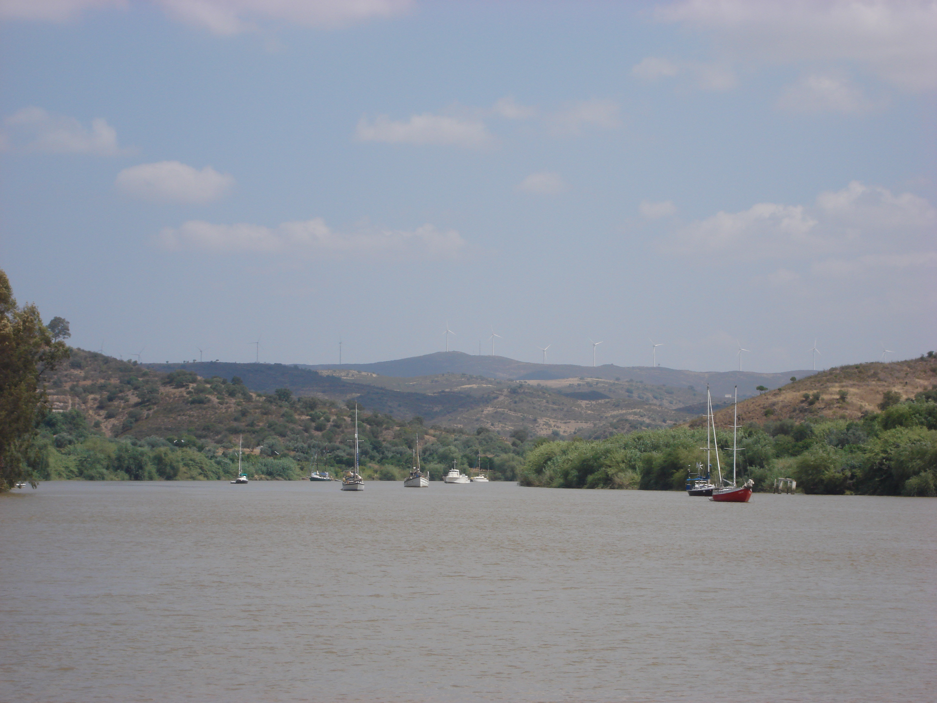
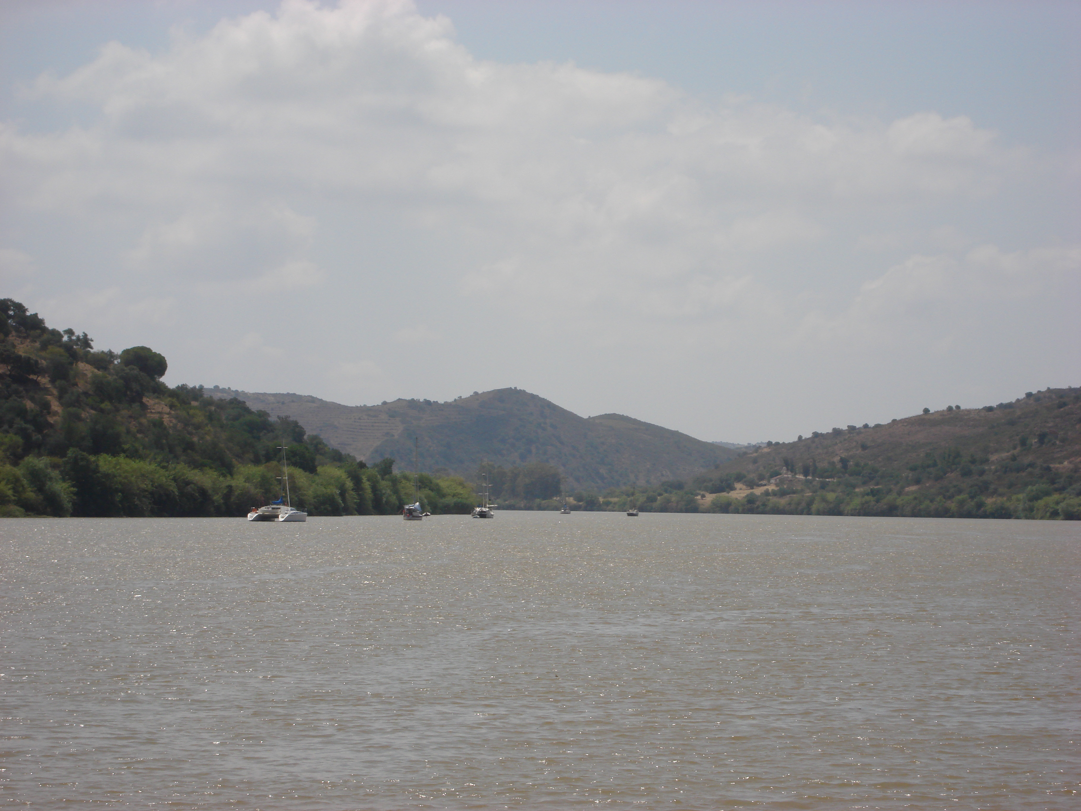
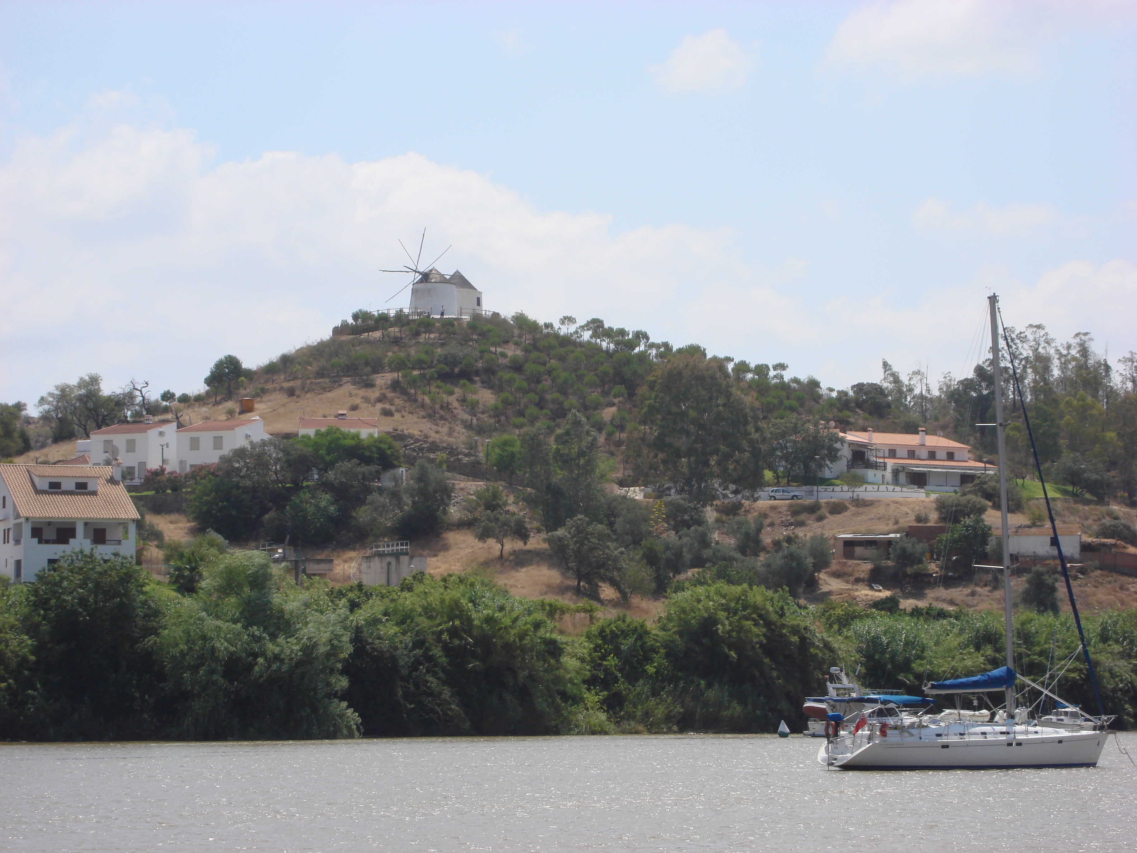
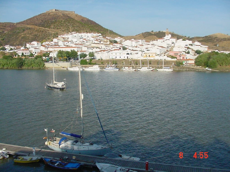
It is common for Yachts like Kiah to sail up as far as the towns of Alcoutim (Portuguese side)/San Lucar (Spanish side); some do actually go further but not us, except adventures in our dinghy..
We met Bella and Norm, on their yacht Bellahorizonte, in Vila Real de Santo Antonio marina. They were used to heading upstream on the Guadiana and told us about the beauty of the river, the towns and villages and the people. They kindly asked if we would like to sail in company with them and they would show us the sites.
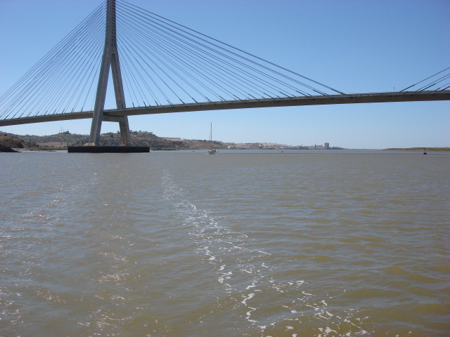
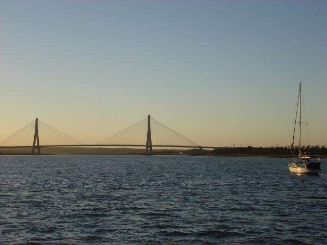
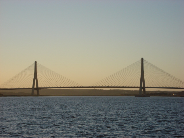
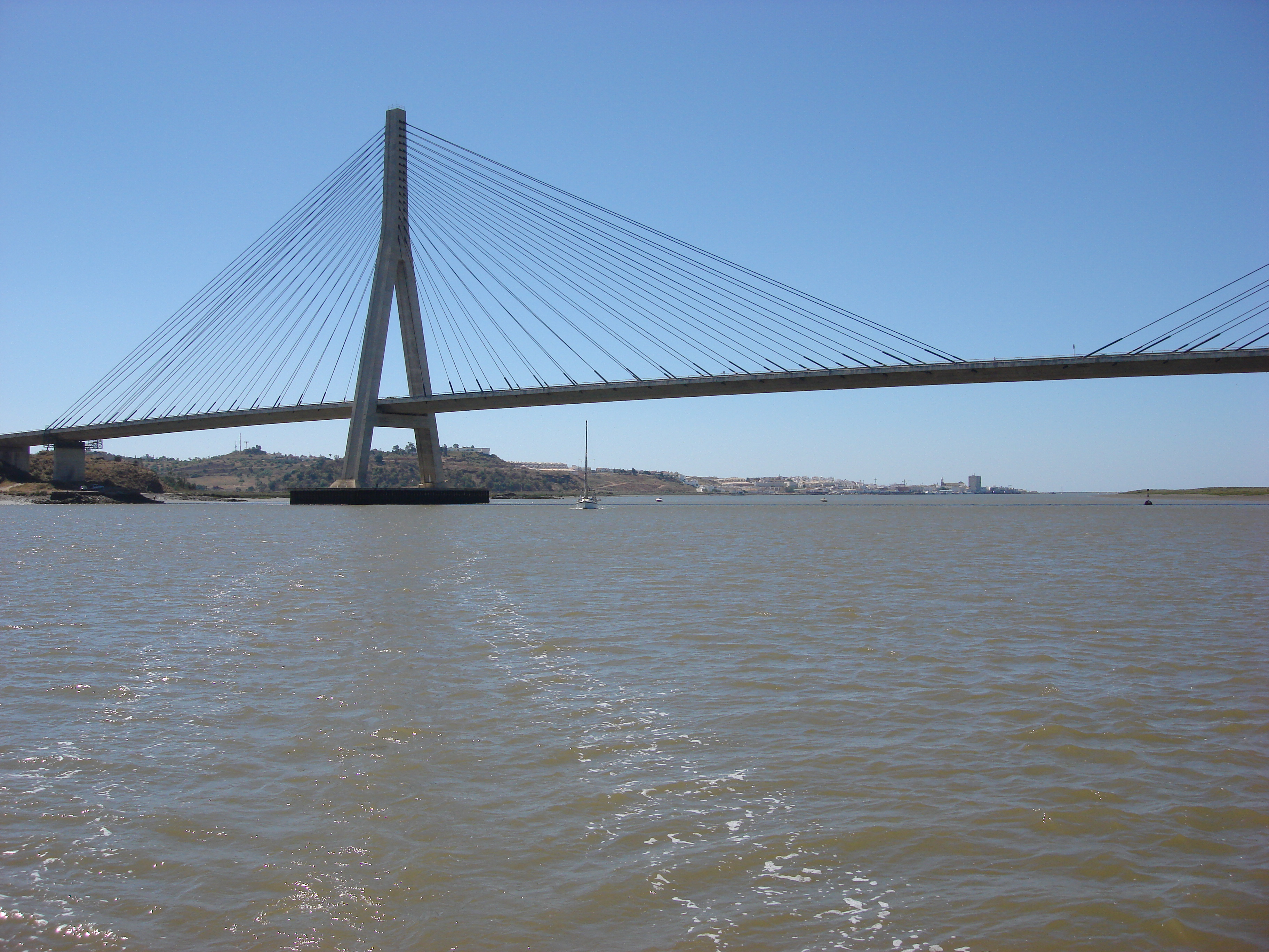
Alan was very sceptical about attempting the sail up the Guadiana River. Firstly there was the unknown quantity of the height at low water of the bridge that spans between Portugal and Spain at the Southern end of the river. Then there was the question of lots of bends and shallow waters!!.
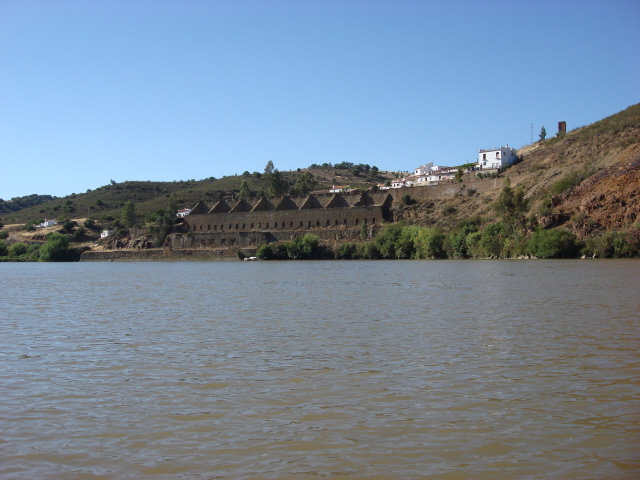
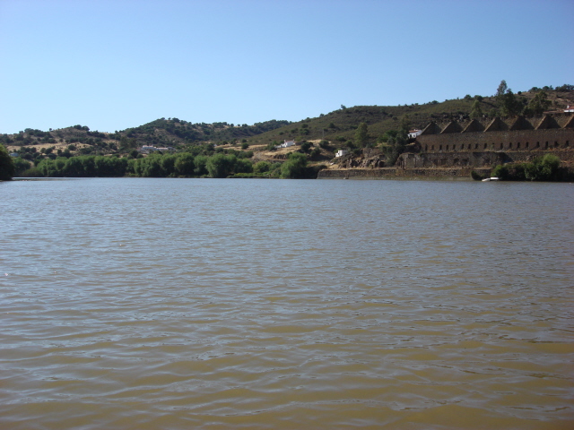
Eventually, we decided to go with Bella and Norman and we will be forever grateful to them for their friendship and great knowledge of the river. The local people call Norm 'Captain' and Bella speaks Portuguese fluently. After a very slow approach and with some concerns, we passed easily under the bridge, and were then able to sail with our two headsails goosewinged all the way to Alcoutim, with a couple of night stops, one in particular at Laranjeiras a wonderful little village. Laranjeiras was an unexpected stopover but Bella and Norm were well known to the local people. A spectacular place and we were treated like royalty.
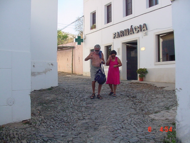
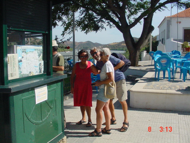
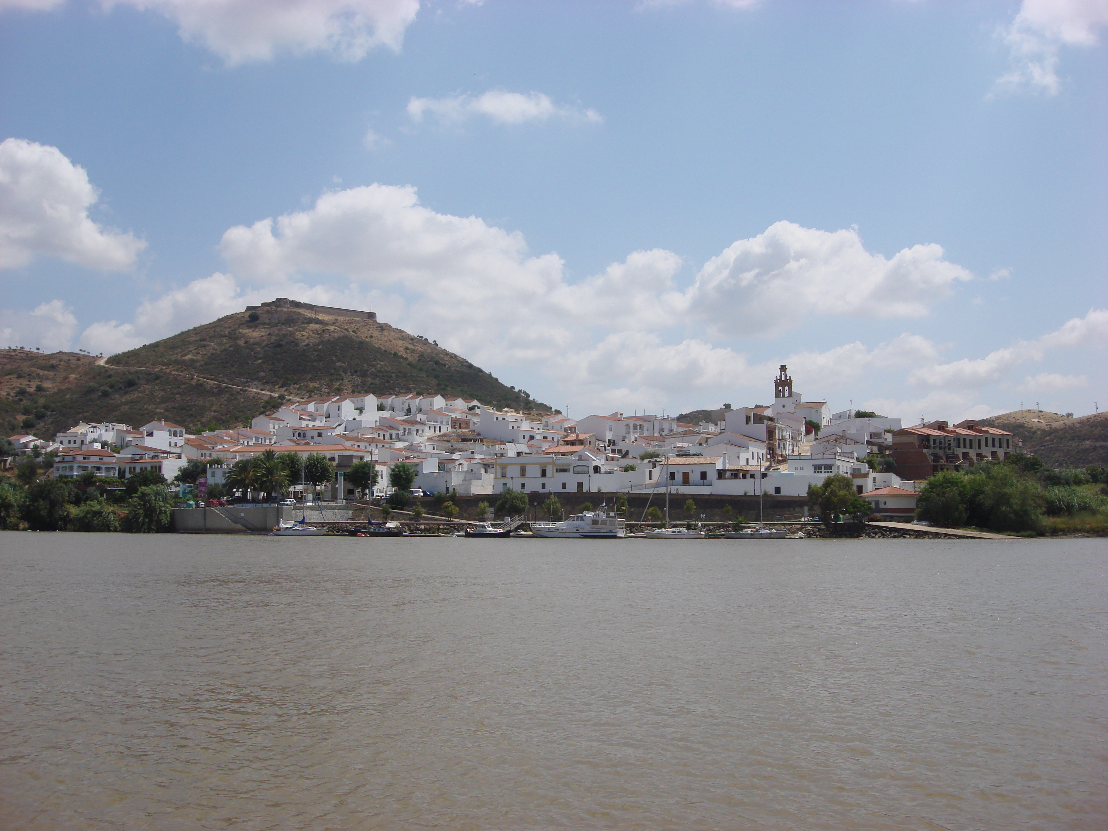
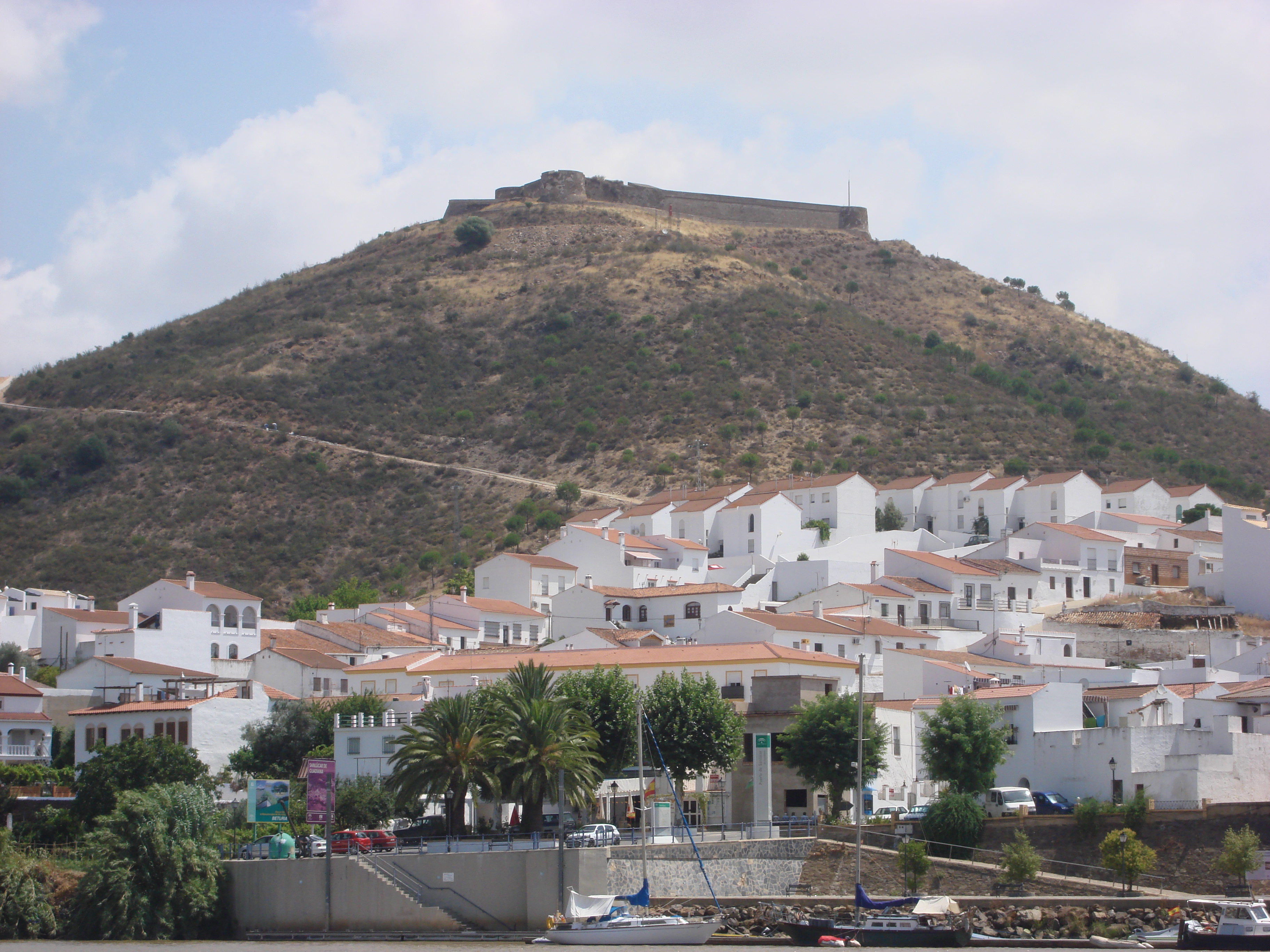
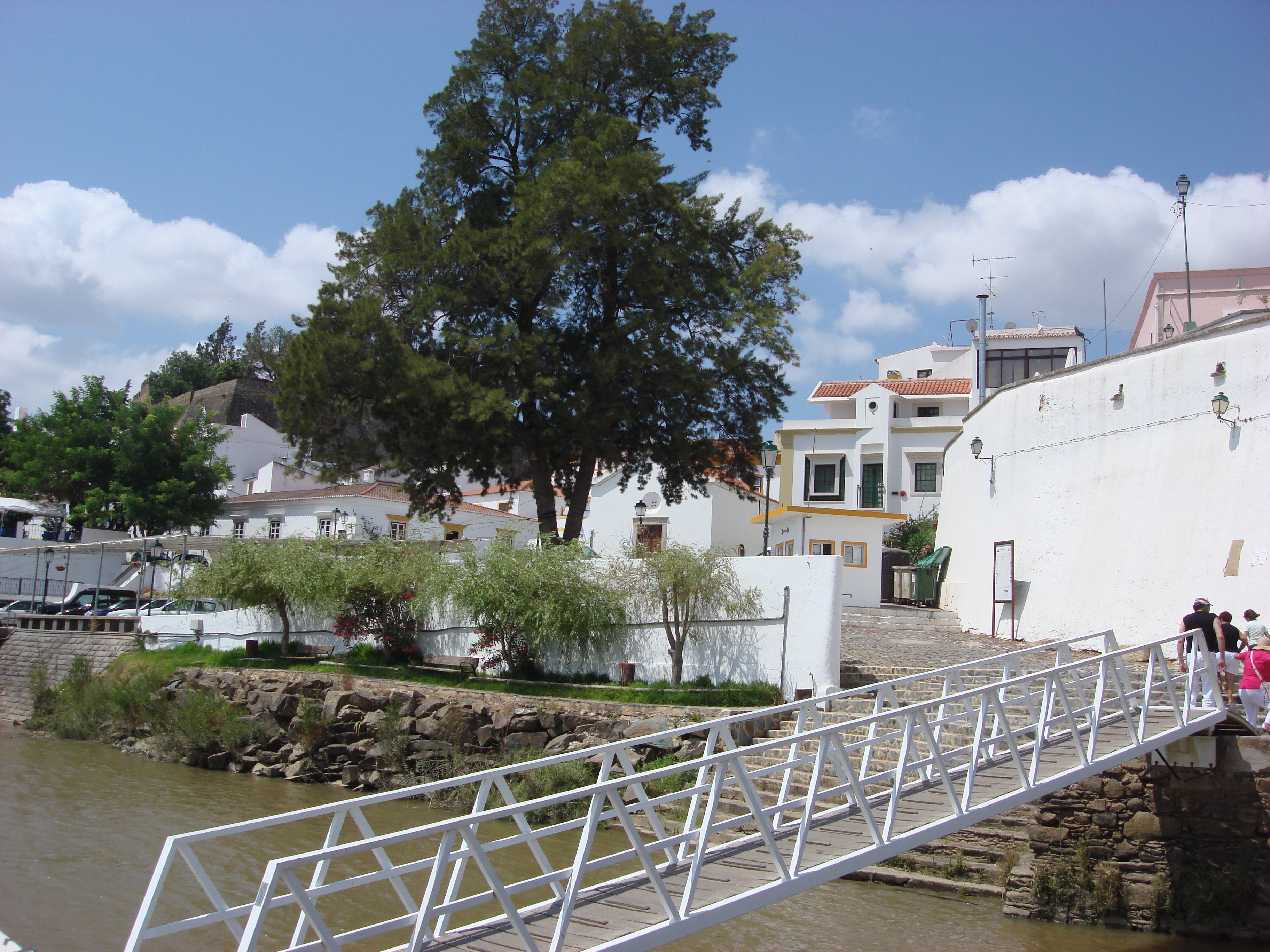
Our main destination was the town of Alcoutim, some 30+ nautical miles up river, and here we spent several days in the company of Bella and Norm and they showed us everything on both the Portuguese side and at San Lucar on the Spanish side. As has been said above, the lower part of the Guadiana River forms the border between Portugal on the West (left) side and Spain on the East (right) side. The flags flying will remind you that Portugal is always on the left as you traverse up the river from the Mediterranean entrance.
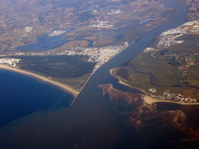
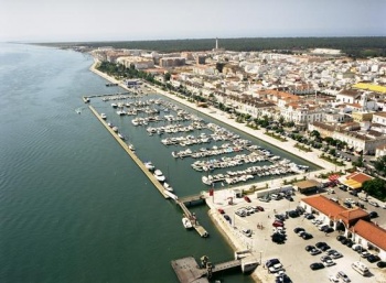
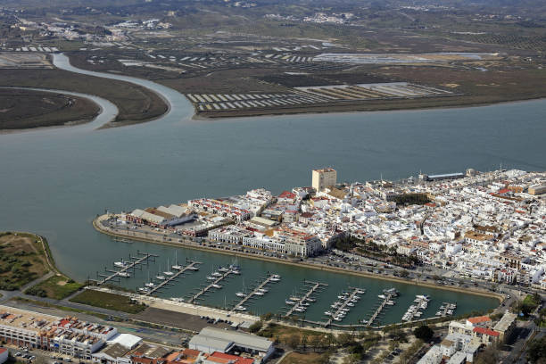
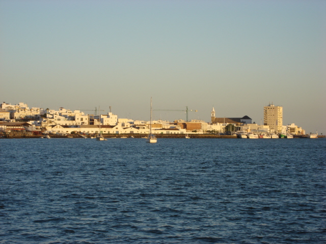
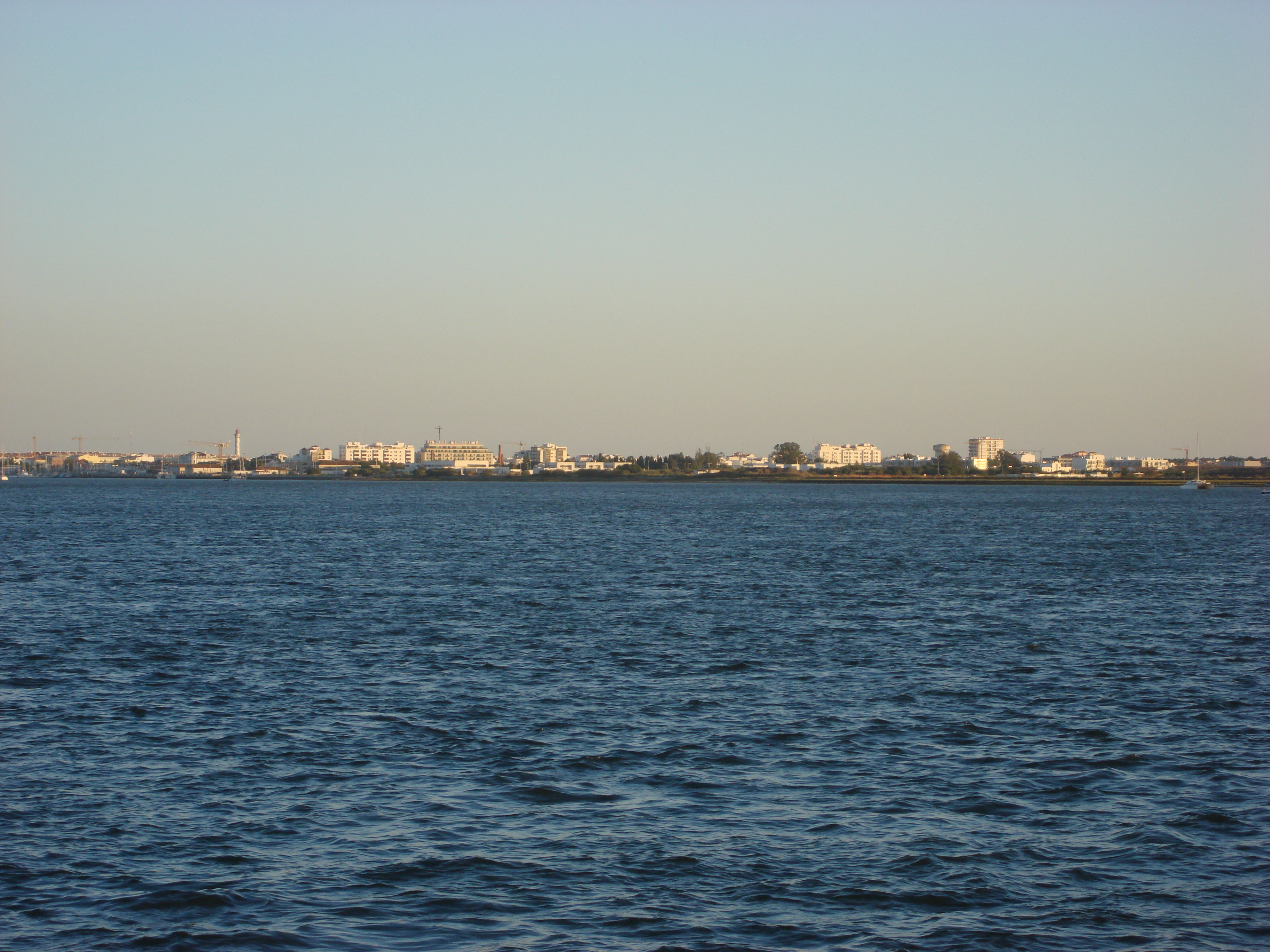
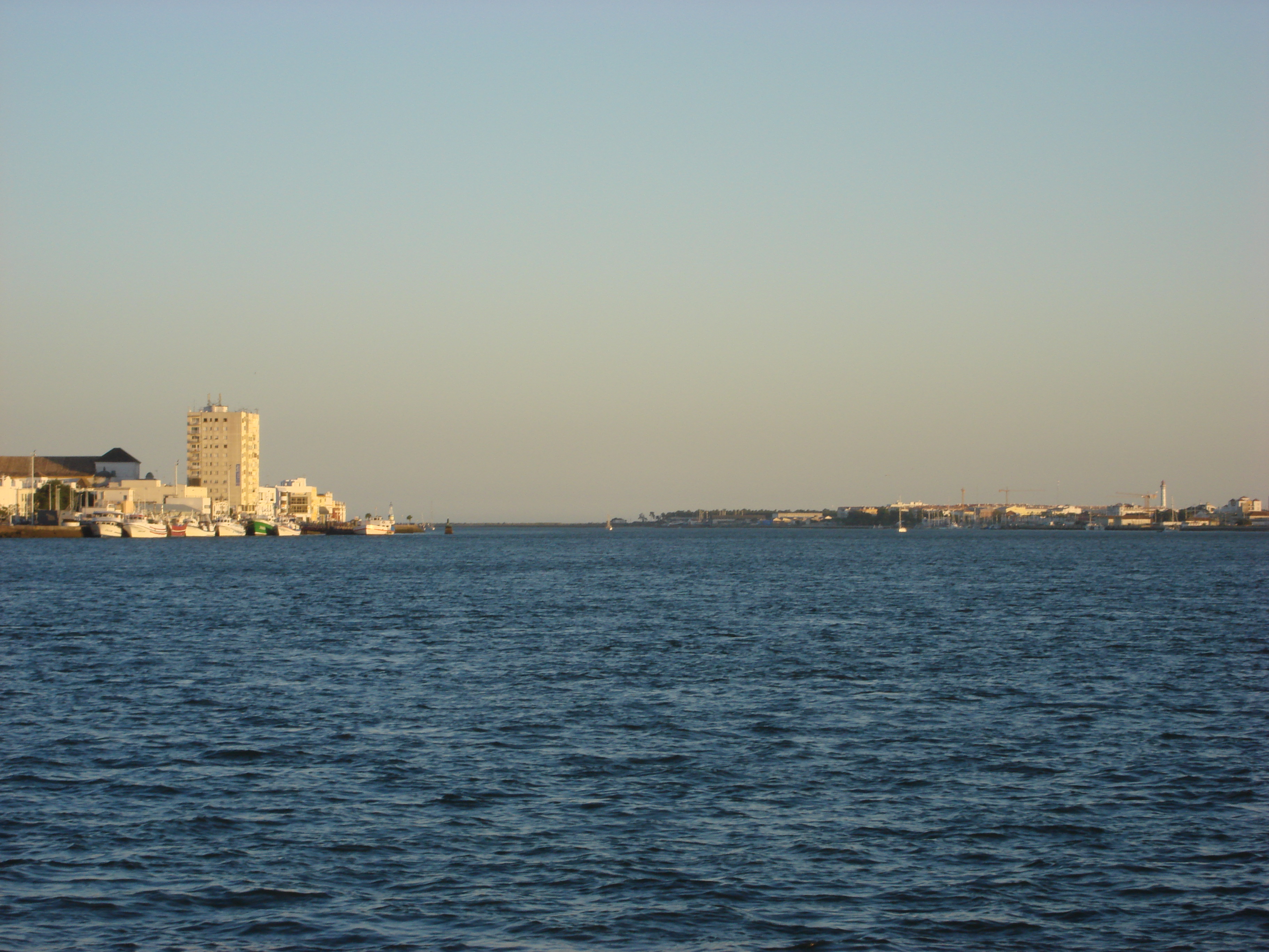
The first pictures below show a map of the course taken by the river and then an ariel view of the estuary. The main river crossing is the bridge that can be seen at the top right hand side of the picture, with the town of Vila Real on the left near the bottom of the river (also shown in the fourth picture) with Ayamonte (shown in the 5th picture) a little further up on the right side (the Spanish side).
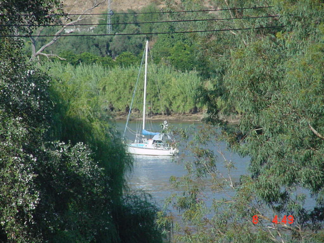
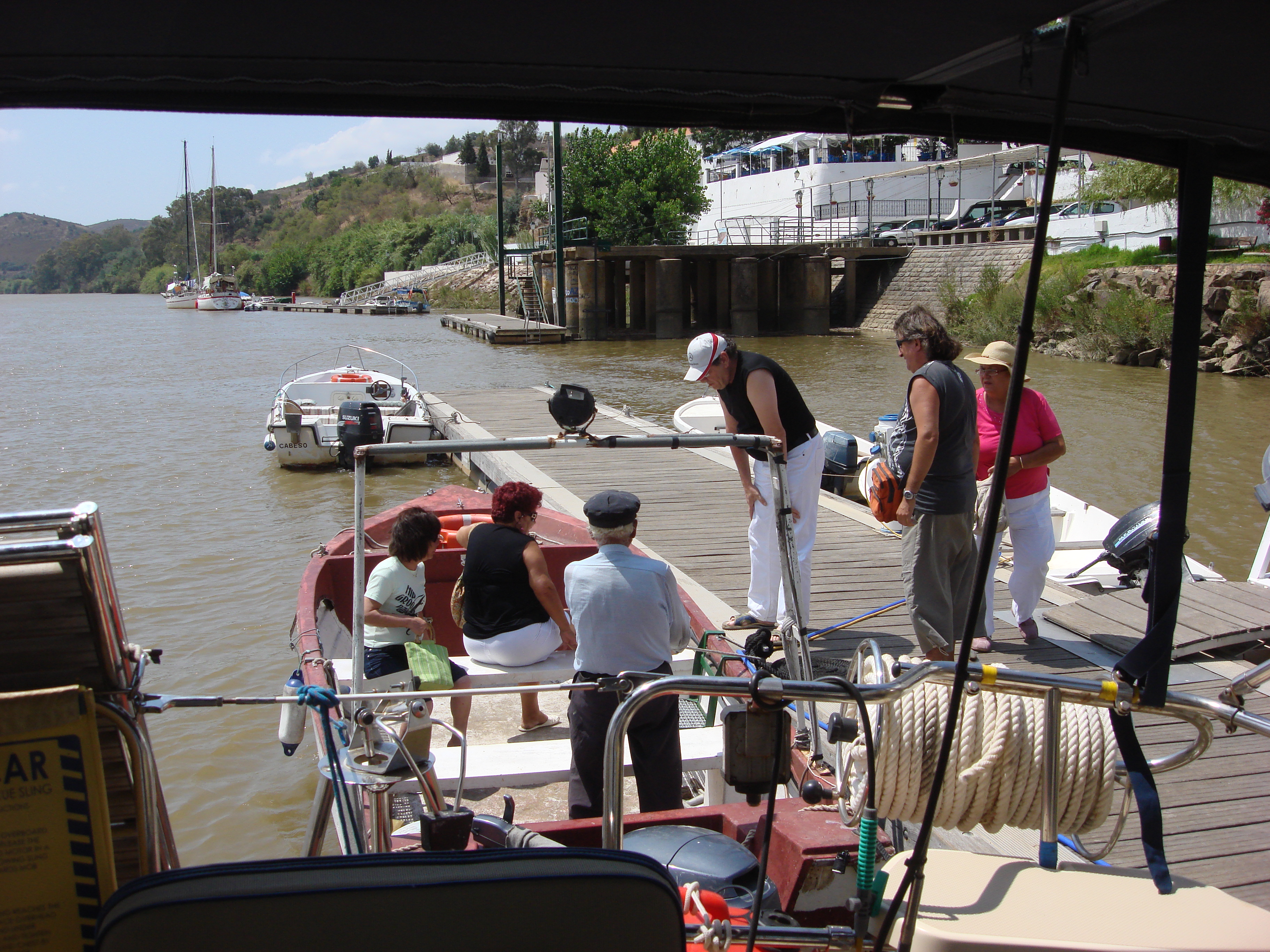
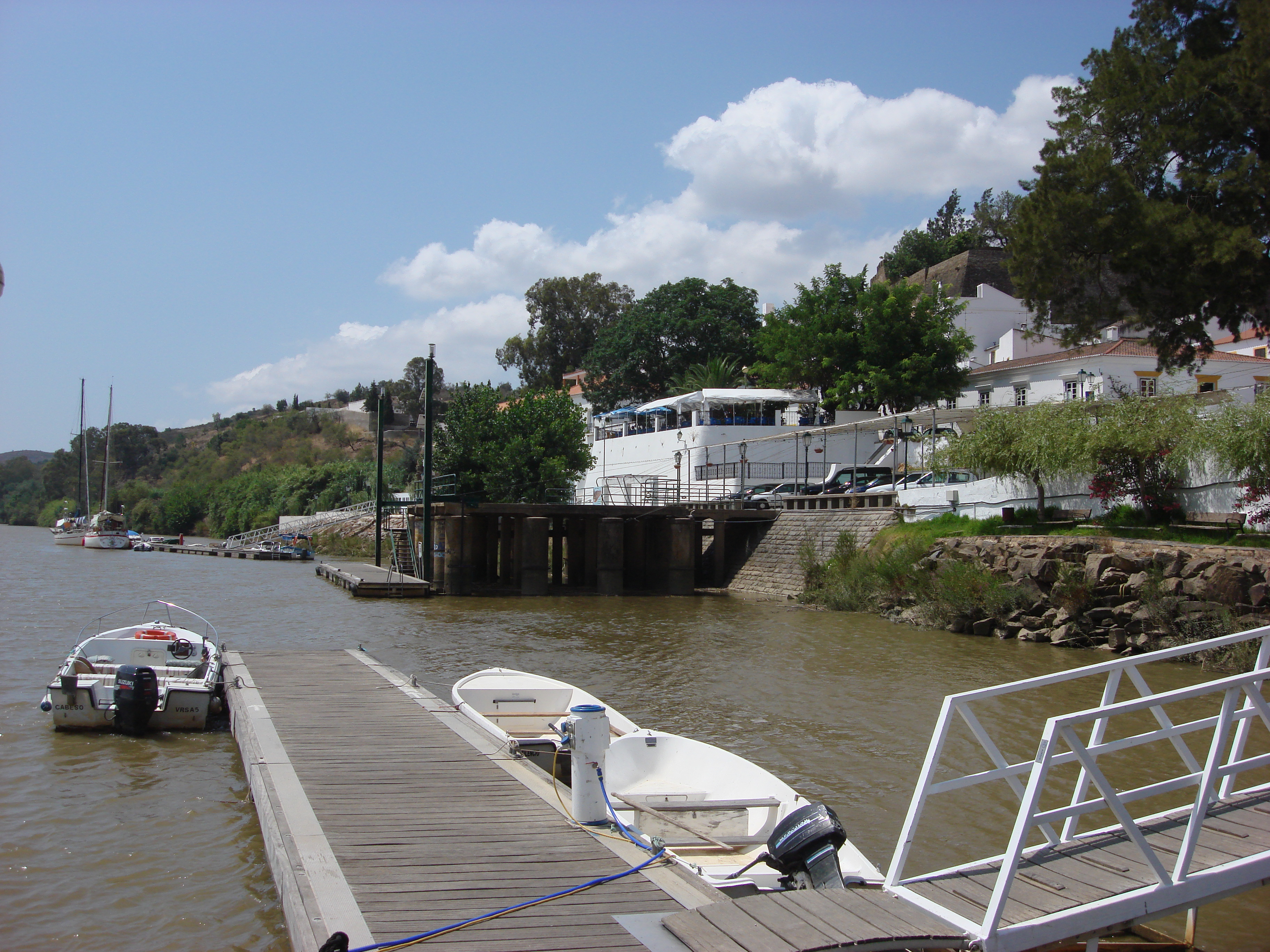
The towns of Alcoutim (Portuguese) and San Lucar (Spanish) are wonderful places to visit. There are pontoons on either side of the river at Alcoutim and San Lucar, however, yachts are only allowed a few nights alongside (in the busy seasons) due to the number of yachts that visit this part of the Guadiana River. It is easy to anchor in midstream just up river from the towns, or in fact down river too. The Guadiana is a tidal this far down its length, but there are times when the rains upstream can push lots of water down river and yachts at anchor have to ensure they are well dug into the muddy bottom. On normal days, the river flows down to the sea twice per day and then the tide comes in an pushes the water back up stream twice per day. This means, like everywhere there is a tide to contend with, anchored yachts will turn 180 degrees four times in any 24 hour period, so ensuring you are still dug in is essential.
Click on the pictures to see a larger image shown in a 'lightbox' click again anywhere outside of the lightbox to close the image.
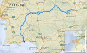
This picture shows the length of the Guadiana River.
