Please note that the historical information, shown below, regarding the Turks and Caicos and the Bahamas is taken from the Wikipedia definitions. My grateful thanks to them as they describe the areas much better than I could have done.
Our time in the Bahamas started with the long passage from Peurto Rico to Conception Island some 580nm way to the North. We in fact split the trip for a stay overnight in French Cay, part of the West Caicos islands. The first leg to French Cay being approx 355.6nm from Puerto Rico
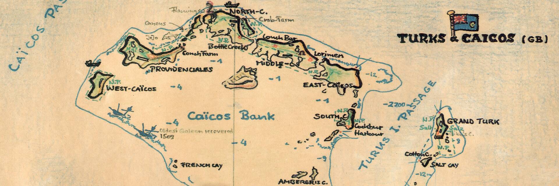
TURKS & CAICOS
The Turks and Caicos Islands are a British Overseas Territory consisting of the larger Caicos Islands and smaller Turks Islands, two groups of tropical islands in the Lucayan Archipelago of the Atlantic Ocean and northern West Indies.[8] They are known primarily for tourism and as an offshore financial centre. The resident population was 31,458 in 2012,[4] of whom 23,769 lived on Providenciales in the Caicos Islands; July 2021 estimates put the population at 57,196.[7] It is the third largest of the British overseas territories by population.
The islands are southeast of Mayaguana in the Bahamas island chain and north of the island of Hispaniola (Haiti and the Dominican Republic). Grand Turk (Cockburn Town), the capital since 1766, is situated on Grand Turk Island about 1,042 kilometres (647 mi) east-southeast of Miami, United States. They have a total land area of 430 square kilometres (170 sq mi).
The islands were inhabited for centuries by indigenous peoples. The first recorded European sighting of them was in 1512. In subsequent centuries, they were claimed by several European powers, with the British Empire eventually gaining control. For many years they were governed indirectly through Bermuda, the Bahamas and Jamaica. When the Bahamas gained independence in 1973, the islands received their own governor, and have remained an autonomous territory since.
FRENCH CAY -
30°42'34.3"N - 081°25'58.7"W
01:00 on the 2nd May 2010. Position 20° 40'.54N 071 20.41W Speed over the ground 6.7 knots. Bumpy seas and Cross Track Error some 3nms, will adjust course Southerly to regain our track.
04:56 - position 20° 48'.72N 071 44'.44W Speed over the ground 6.2 knots. Next waypoint bearing 312 M, range 8.86nms. Heading 307 M with COG 316 M.
07:57 - position 21°02'.58N 072°01'.18W SOG 7.1 knots. Speeding along the Southern part of the Caicos Bank about 5 to 6 miles South of it. Contacted Barnstorm and remedy on HF but only Remedy on VHF.
15:20 - With the prospect of the wind dying and our pottering along for a while, we decided to find an anchorage for the night. French Cay was the obvious choice so we plotted our course to head in for an overnight stay. It took us several hours to get into the Cay but eventually we anchored in 1.98mtrs of water under Kiah's keel. Doreen went overboard for a swim but we did not venture ashore. Settled down for the night but used the engine first to top up the batteries whilst we ran the watermaker to fill the tank.
On the map shown below, you will see French Cay at the bottom left of the Caicos Bank
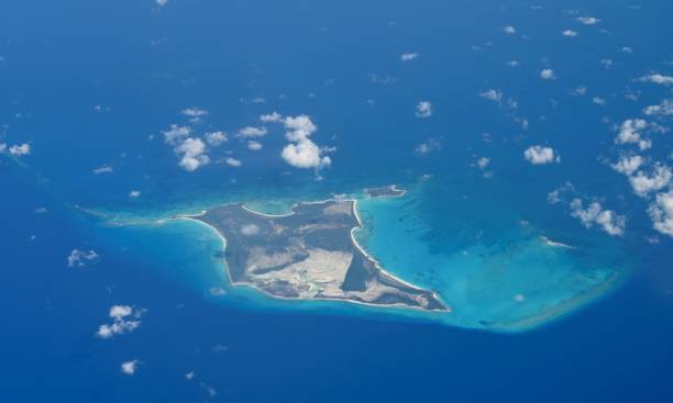
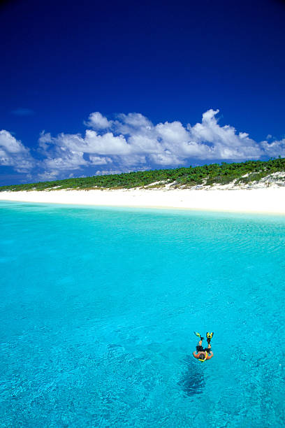
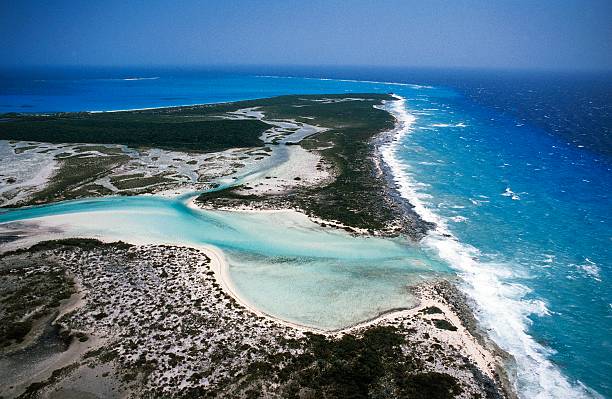
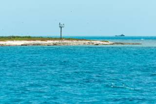
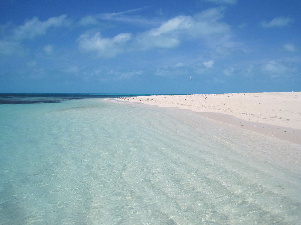
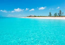
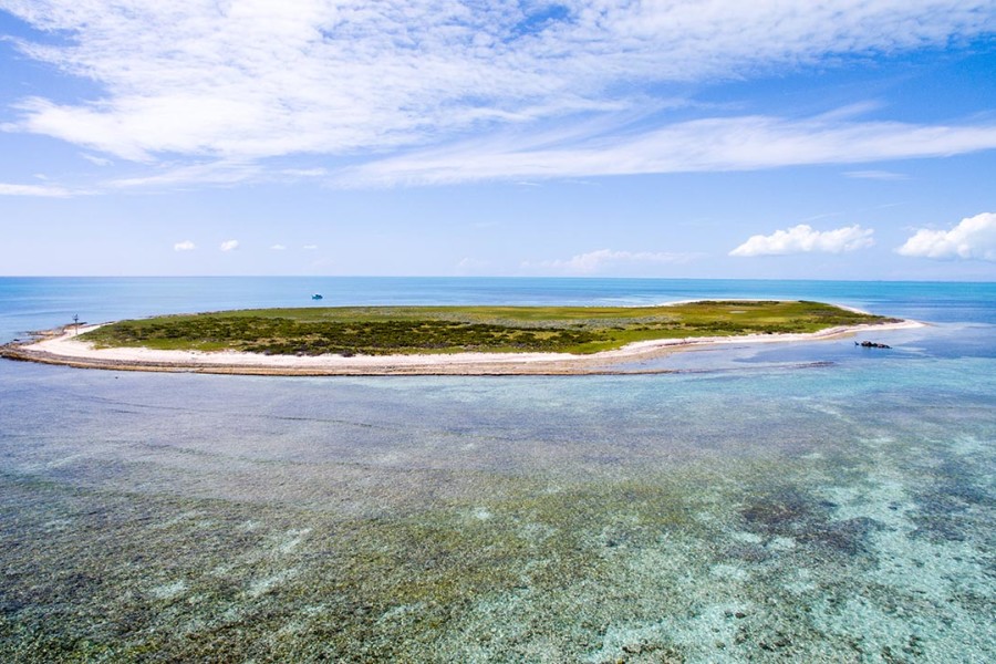
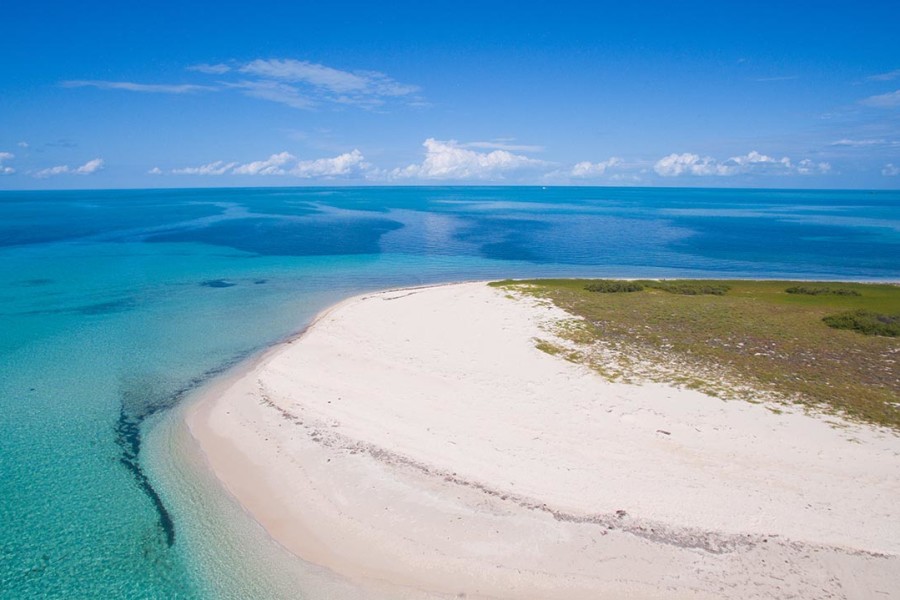
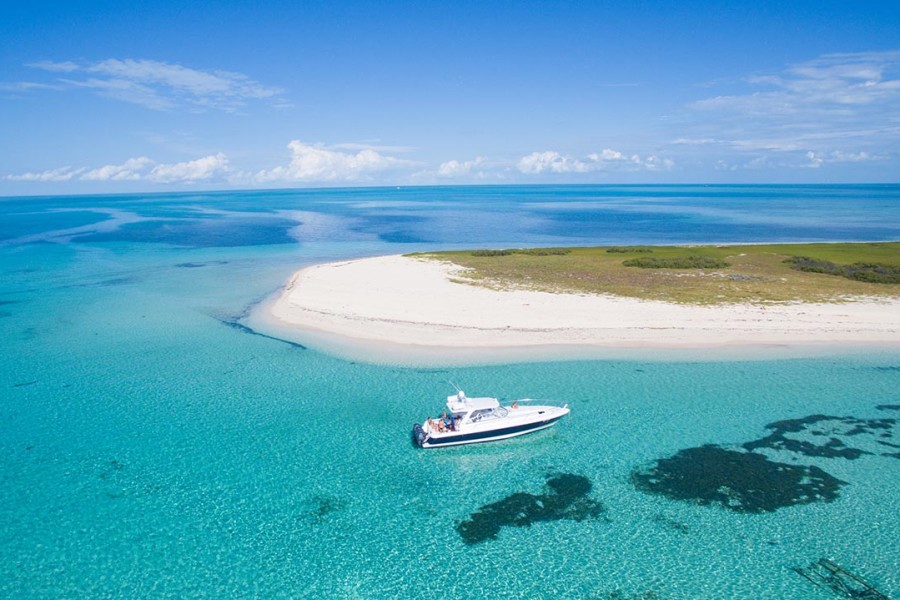
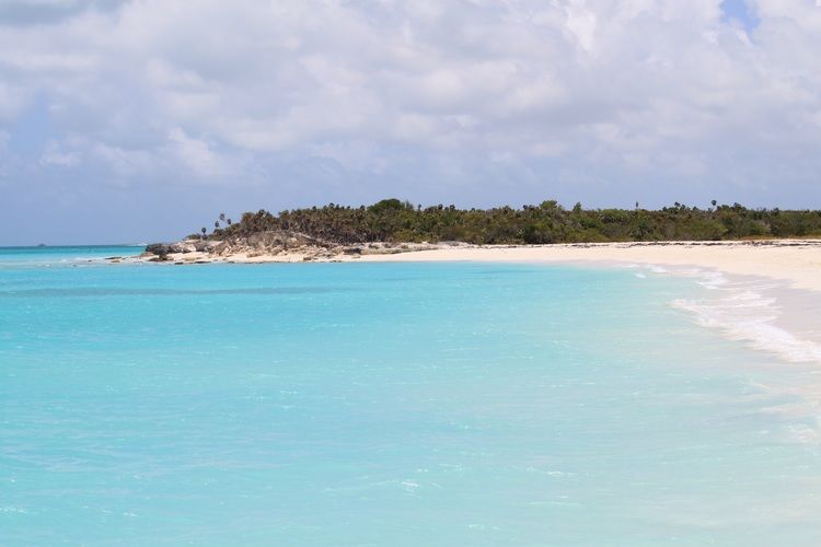
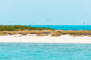
The remaining images are of the general French Cay area, beautiful beaches on the North and warm clear seas all around.
.jpg)

BAHAMAS
The Bahamas officially the Commonwealth of The Bahamas, is a country within the Lucayan Archipelago of the West Indies in the Atlantic. It takes up 97% of the Lucayan Archipelago's land area and is home to 88% of the archipelago's population. The archipelagic state consists of more than 3,000 islands, cays, and islets in the Atlantic Ocean, and is located north of Cuba and northwest of the island of Hispaniola (split between Haiti and the Dominican Republic) and the Turks and Caicos Islands, southeast of the U.S. state of Florida, and east of the Florida Keys. The capital is Nassau on the island of New Providence. The Royal Bahamas Defence Force describes The Bahamas' territory as encompassing 470,000 km2 (180,000 sq mi) of ocean space.
The Bahama Islands were inhabited by the Lucayans, a branch of the Arawakan-speaking Taíno, for many centuries.[11] Christopher Columbus was the first European to see the islands, making his first landfall in the "New World" in 1492 when he landed on the island of San Salvador. Later, the Spanish shipped the native Lucayans to and enslaved them on Hispaniola, after which the Bahama islands were mostly deserted from 1513 until 1648 due to nearly all native Bahamians being forcefully removed through enslavement or dying due to diseases brought to the islands by the Europeans. In 1649,[12] English colonists from Bermuda, known as the Eleutheran Adventurers, settled on the island of Eleuthera.
The Bahamas became a British crown colony in 1718, when the British clamped down on piracy. After the American Revolutionary War, the Crown resettled thousands of American Loyalists to the Bahamas; they took enslaved people with them and established plantations on land grants. Enslaved African people and their descendants constituted the majority of the population from this period on. The slave trade was abolished by the British in 1807; slavery in the Bahamas was abolished in 1834. Subsequently, the Bahamas became a haven for freed African slaves. Africans liberated from illegal slave ships were resettled on the islands by the Royal Navy, while some North American slaves and Seminoles escaped to the Bahamas from Florida. Bahamians were even known to recognise the freedom of enslaved people carried by the ships of other nations which reached the Bahamas. Today Afro-Bahamians make up 90% of the population of 400,516.
The country gained governmental independence in 1973, led by Sir Lynden O. Pindling, with Elizabeth II as its queen. In terms of gross domestic product per capita, The Bahamas is one of the richest independent countries in the Americas (following the United States and Canada), with an economy based on tourism and offshore finance.
CONCEPTION ISLAND -
23°49'55.56"N - 075°7'46.86"W
Following our very calm and uneventful night at French Cay, we set off on the 3rd May 2010 for Conception Island and then Georgetown in the Bahamas.
